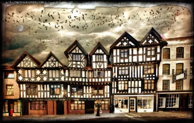
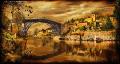
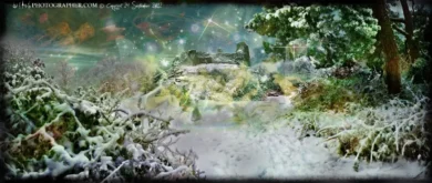
 Click a section to zoom in. These are


Description
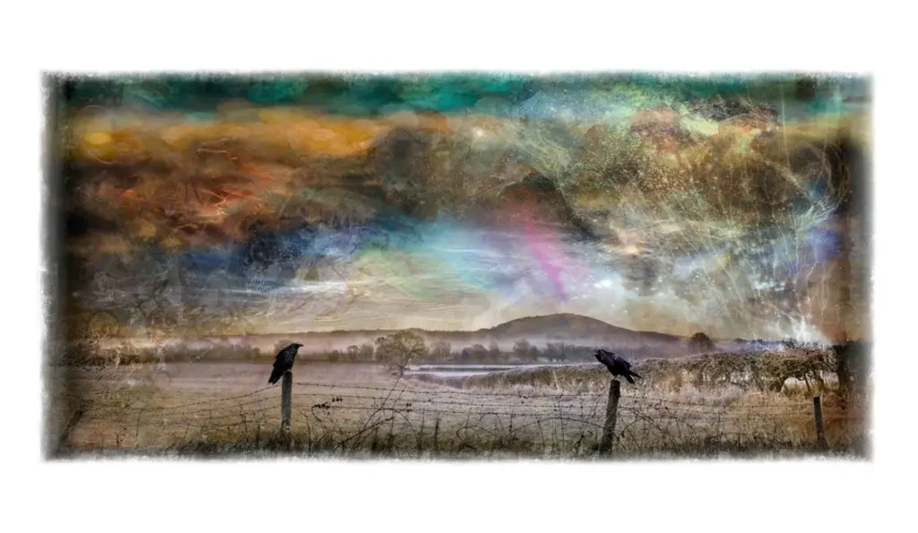
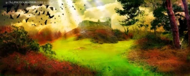
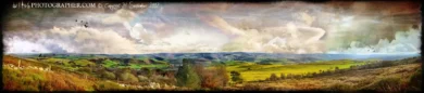
The Brown Clee Hill lay line
The concept of “ley lines” originates with Alfred Watkins, though Watkins also drew on earlier ideas about alignments, in particular, the work of the English astronomer Norman Lockyer, who argued that ancient alignments might be oriented to sunrise and sunset at solstices
As Alfred says…
I took sighting lines over successive pairs of stones, five lines being possible, and although the work on the map is not yet completed, I can definitely say that the ” Four Stones ” are directing posts which point out at least two lays, proved by passing through other good points. The first goes to the highest point in Deerfold Forest (The Camp, 940ft.) in one direction; and in the other through The Folly and on the main road at Llanvihangel-nant-Melan, over Bryn-y-Maen Hill, here appearing to strike another ” four stones,” and through Llansaintfraed in Elvel Church to some peak beyond.
The second lay starts from Bach Hill (one of the highest parts of the Radnor Forest) ; through the Four Stones, dead on main road through Walton village, dead on main road past Eccles Green, through Upperton Farm and Kenchester Church, and dead on the present road which is the S.W. boundary of the Roman station of Magna ; then going over the Wye through Breinton Church. Bitterley Churchyard Cross has a circular hole through its shaft at a convenient height for sighting. Mr. J.C. Mackay kindly had the exact direction of this taken for me by sighting compass. It is 28½° E. of Magnetic N., and this on the map exactly strikes Abdon Burf (or Barf), the high point (1,790ft.) of the Brown Clee. Southwards the line runs through Stoke Prior and Hope-under-Dinmore Churches, is confirmed in other ways, and goes over the Wye at Bel-mont House.
Bitterley Cross is of 14th century date; it must be the successor of a sighting stone which in some way pointed the direction of the lay, and it suggests that sighting along a lay had not quite died out by the 14th century. These two proved instances of sighting stones, together with the cases of stone rows on Dartmoor; and sighting columns on Sutton Walls, will give the clue to the hitherto unknown purpose of many important ancient stone monuments.
It is probable that the flat face of a mark stone, as in Wergin’s Stone (Plate X.), pointed out a lay. There is a Dial Post near Tewkesbury which, with the Dial Carreg near Cwm-yoy, seems to denote the above purpose, and the last stone is an upright shaft of rectilinear shape like the supposed cross at Capel-y-fin (Plate X.).
Brown Clee Hill is the highest hill in the rural English county of Shropshire, at 540 metres above sea level. It is one of the Clee Hills, and is in the Shropshire Hills Area of Outstanding Natural Beauty.
Brown Clee Hill lies five miles north of its sister and neighbour, Titterstone Clee Hill. The highest peak of the hill is Abdon Burf, at 540 metres high with Clee Burf at 510m.
Much more of Brown Clee Hill is private land than on Titterstone Clee, and large areas are covered with coniferous plantations. The eastern expanse of the hill is in possession of the Burwarton Estate under ownership of Viscount Boyne, whilst the western fringes of the hill are owned by various private land owners and the parish of Clee St. Margaret.
Nearby towns are Ludlow, Cleobury Mortimer, Church Stretton, Broseley, Bridgnorth and Much Wenlock.
Several air traffic control radar masts on the summit of the hill can be seen for many miles around. They, along with the ones on top of Titterstone Clee Hill build up a picture of all the aircraft in a hundred mile radius.
History
Several hill forts are dotted around the Clee Hills. Nordy Bank is the last intact survivor of three Iron Age hill forts on Brown Clee. The other two, at Abdon Burf and Clee Burf, have been largely lost to quarrying activity. Nordy Bank occupies a sloping ridge top site and its ramparts are up to three metres high. It was built some time in the British Iron Age first Millennium BC and gives a commanding view of the local countryside.
Quarrying was for long the main income of the area, and it was widely known as a dangerous and gruelling job. People would walk to the Abdon Quarry on Brown Clee Hill from as far as Bridgnorth and Ludlow, and often they would tend to at least one other job. They were quarrying for Dhustone (Dolerite), a very hard and challenging material to extract.
The Abdon Clee quarries closed in 1936, and by this time the area had become almost industrial, with a concrete plant, tarmac plant in Ditton Priors, plus a small railway to move the stone – and the quarries themselves. If the wind was coming down over the hill it was apparently possible to hear the stone crusher at the top crunching away, even down in Cleehill village.
After the quarries closed, a lot of the quarrymen went to work at the Cockshutford quarries on the other side of Brown Clee. But the dhustone there wasn’t as good quality and durable as over on the Abdon side and that quarry failed to after a short period. Many of the men returned and worked at the naval ammunition depot set up at Ditton Priors at the start of the war. The quarries totally finished in the 1930s and 40s.
Whilst the radar facilities of the Clee Hills protect aircraft, both hills were once a hazard to aircraft, and a memorial commemorates the 23 Allied and German airmen killed here when their planes crashed into Brown Clee during World War II. The first aircraft to crash into Brown Clee was a German Junkers 88, on 1 April 1941. Two Wellington Bombers, a Hawker Typhoon and at least two Avro Ansons also crashed here. It is now thought that there were more wartime crashes on Brown Clee than any other hill in Britain. The engine and other parts of one of the Wellington Bombers are said to rest on the bottom of Boyne Water, Brown Clee.


Reviews
There are no reviews yet.